Mangart Junction
Distance: 9.49 km
Elevation Gain: 567 m
Elevation Loss: 0 m
Difficulty:
468 (Moderate)
FIETS Index: 3.39 FIETS
Avg Grade: 5.98 %
Max cat climb: 2
Min elevation: 514 m
Max elevation: 1081 m
Ride Category:
Climb
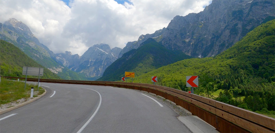
The ride from the Koritnica Valley to the Mangart junction is a journey through a high-alpine landscape defined by its sheer scale. As you ascend from the glacial valley floor near Log pod Mangartom, you are flanked by the immense Loška stena—a limestone wall rising nearly 1,000 meters above you—and the jagged peaks of the Mangart and Jalovec massifs. Historically, this route was a lifeline for the Isonzo Front during World War I, where the Austro-Hungarian army utilized the valley’s deep, hidden geography for logistics. You will pass the Predel Fortress ruins and the iconic Mangart Viaduct, an engineering marvel that bridges a deep ravine, marking the transition from the protected valley into the exposed high-mountain terrain.
For cyclists, this segment serves as a rigorous transition from the scenic valley floor to the high-mountain terrain. The road winds upward through dense beech forests, requiring a steady, focused effort as the landscape becomes increasingly dramatic. It is often treated as the ultimate "threshold" ride, leading to the high-altitude junction near the viaduct where the path diverges. Many riders use this climb as a standalone challenge or as a mandatory warm-up before deciding whether to tackle the legendary Mangart Road or finish the final stretch to the Italian border.